描述
- Completely updated. Newest edition. 1st Edition
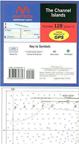
- The best waterproof chart for cruising around the Channel Islands!
- Includes Anacapa, Santa Cruz, Santa Rosa, and San Miguel islands.
- Contains pre-plotted Anchorages, GPS waypoints, courses, and wrecks.
- 24" x 36" Approximate scale 1:53,333 with insets
Detailed coverage of The best waterproof chart for cruising around the Channel Islands! Includes Anacapa, Santa Cruz, Santa Rosa, and San Miguel islands. Contains pre-plotted Anchorages, GPS waypoints, courses, and wrecks. 24" x 36" Approximate scale 1:53,333 with insets.