Description
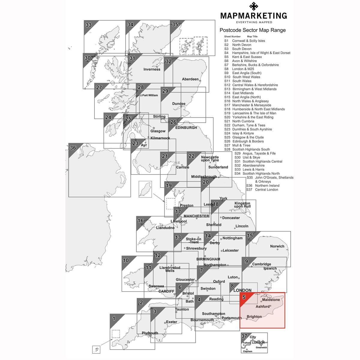
- Size: 73 x 107 cm (29 x 42 inches). Scale: 1:150 000 (2.4 miles to 1 inch).
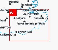
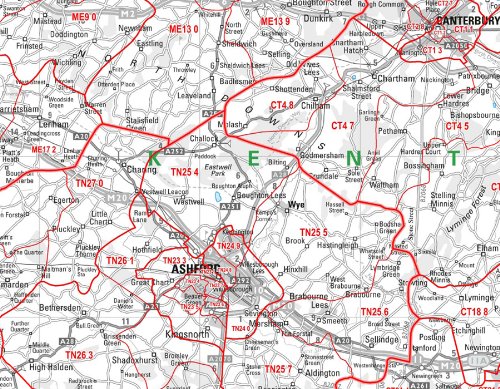
- Focusing on the Kent and East Sussex, the postcode sector map covers major cities such as Canterbury, Maidstone and Dover the following geographical area: North: Bridgewater South: Eastbourne East: Dover West: Horsham
- The map shows the first part of the Postcode and the first number of the second part of the Postcode.
- This map is permanently bonded between two sheets of tough, flexible, crystal-clear plastic.
- This map includes all of the Postcode changes from the most recent Royal Mail Postcode Update.
- ›See more product details
Kent And East Sussex Postcode Sector Wall Map- Postcode Sector Map 5 - Laminated Wall Map With Motorway, A' Roads, B' Roads, City Plans, Area, District, Sectors