
Desert Online General Trading LLC
Dubai, United Arab Emirates
Desert Online General Trading LLC
Dubai, United Arab Emirates
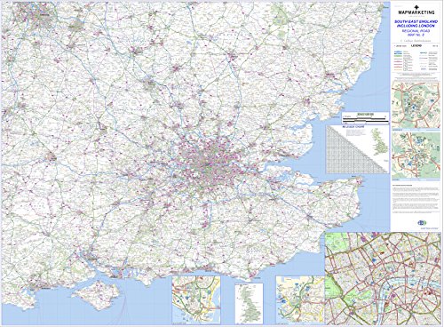
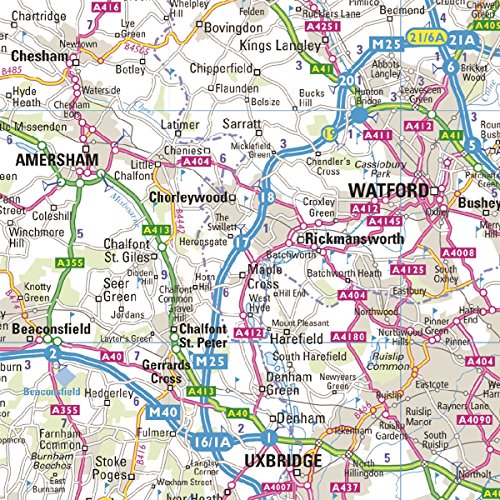

Large Southeast England Including London Road Map - Detailed Regional Road Wall Map - Motorways, Primary And Secondary Roads, Trunk Roads, Dual Carriageways
Trustpilot
2 weeks ago
1 month ago